I work with satellite data to track how water, land, and the atmosphere change over time. I studied Geomatics at the University of Benin and graduated with First-Class Honours. Since then I have focused on applying Google Earth Engine, machine learning, and geospatial analysis to environmental problems in Nigeria and across the region. Much of this work has involved looking at rivers and floods, from mapping long-term changes along the Niger River to assessing exposure and instability in the Lower Niger Basin. I have also worked on groundwater, using GRACE and GRACE-FO observations together with climatic data to fill gaps and understand storage patterns at a local scale. Another part of my work looks at air quality, connecting satellite aerosol measurements to ground observations. I build dashboards and tools because data only matters when people can use it. The systems I work with include GEE, ArcGIS, MATLAB, and Python. My background in geodesy and hydroinformatics shapes how I approach these problems.
Education
My academic journey and qualifications
Bachelor of Science
Geomatics (Surveying and Geo-Informatics)
Benin City, Edo State, Nigeria
Thesis: Investigation of the Accuracy of Post-Processed Static GNSS Data Using Constellation Discriminant at University of Benin
Focus: Remote Sensing · Hydroinformatics · Machine Learning · Satellite Remote Sensing of large rivers · Water Resources
Geodesy & Positioning
Remote Sensing & GIS
Hydroinformatics & Water Resources
Mathematics & Data Science
Other Engineering
Skills Highlight

A comprehensive overview of my technical and professional competencies
Professional Skills
Teamwork
Problem Solving
Analytical Thinking
Technology Adaptation
Time Management
Leadership
Research & Writing
Mentorship
Geospatial & Surveying Software
Specialized tools for remote sensing, GNSS, and geospatial analysis
Google Earth Engine
Cloud-based geospatial analysis
Advanced
ArcGIS
GIS & spatial analysis
Advanced
MATLAB
Numerical computing & RivMAP
Advanced
RTKLIB
GNSS post-processing
Intermediate
Tersus Geomatics Office
GNSS data processing
Intermediate
Agisoft Metashape
Photogrammetry & 3D modeling
Intermediate
Programming Languages / Frameworks / Databases
Modern development stack for building data-driven and geospatial applications
Matlab
Python
JavaScript
TypeScript
React
Next.js
Node.js
PostgreSQL
Git
GEE
+
Professional Skills
+
Geospatial Software
+
Programming Technologies
Certifications
Professional certifications that reflect my commitment to continuous learning in geospatial analysis, data science, and software development.
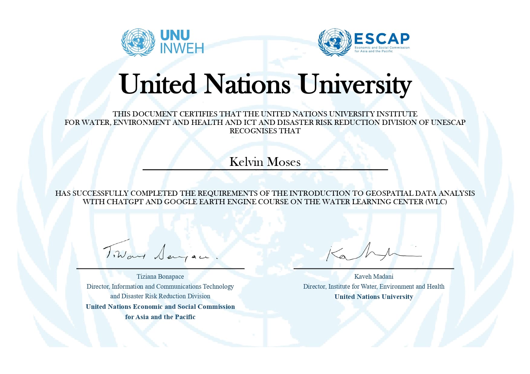
Geospatial Data Analysis (GEE)
United Nations University
Dec 2024
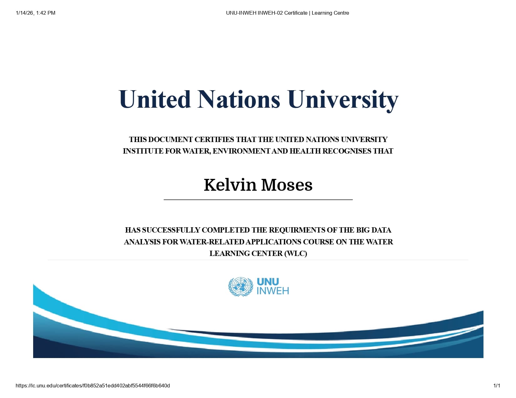
Big Data Analysis for Water (WLC)
United Nations University
Jan 2026
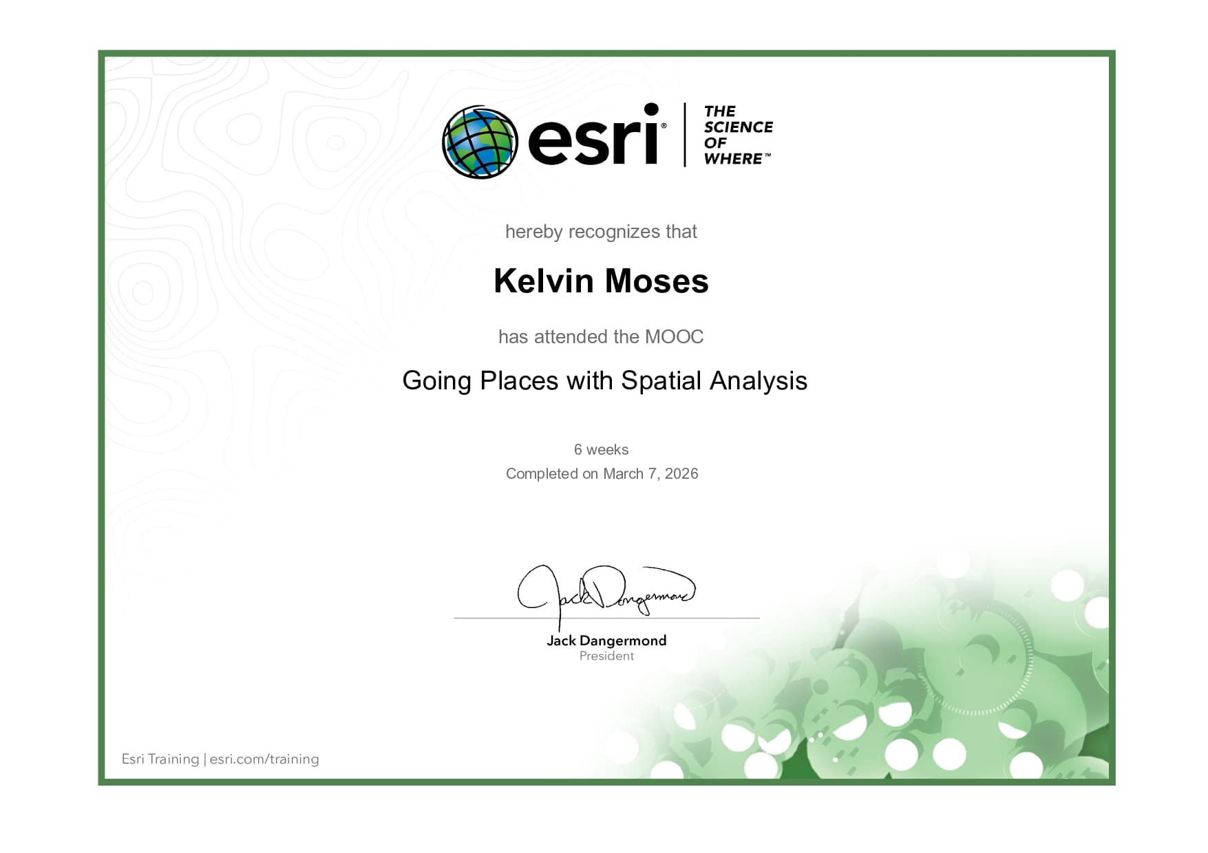
Going Places with Spatial Analysis
Esri
Mar 2026
Geospatial Data Analysis (GEE)
United Nations University
Dec 2024
Big Data Analysis for Water (WLC)
United Nations University
Jan 2026
Going Places with Spatial Analysis
Esri
Mar 2026
Geospatial Data Analysis (GEE)
United Nations University
Dec 2024
Big Data Analysis for Water (WLC)
United Nations University
Jan 2026
Going Places with Spatial Analysis
Esri
Mar 2026
Geospatial Data Analysis (GEE)
United Nations University
Dec 2024
Big Data Analysis for Water (WLC)
United Nations University
Jan 2026
Going Places with Spatial Analysis
Esri
Mar 2026